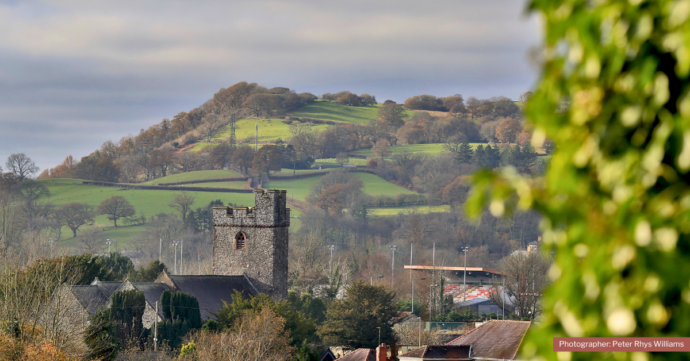
Skip to content. | Skip to navigation

Fforest Fawr Geopark

Wales' First European Geopark

Llandovery

The northern gateway to the Geopark and a town which has given its name to the world.


The community comprises the town of Llandovery (Welsh: Llanymddyfri) and a dispersed settlement beyond.  A small part of the community lies within the Geopark.


The lie of the land

The community ranges in height from about 60m west of the town at SN 753334 to 314m at an un-named hill at SN 777393 outside of the Geopark.  It is drained by the Afon Tywi and its tributaries the Afon Bran and Afon Gwydderig.


Solid rocks

The area is at the southeastern edge of the Mid Wales Basin in which great thicknesses of marine sediments were accumulated during the Ordovician and Silurian periods.  These sandstones and mudstones have since been intensely folded and are often seen to be steeply dipping towards the south-east. 

Sir Roderick Impey Murchison conducted early geological mapping and survey work in the area.  As a consequence of his efforts in the early 19th century, rocks of a certain age the world over are referred to as being of 'Llandovery age'.


The legacy of the Ice Ages

A major glacier moved down the Towy valley during the Ice Ages.


Archaeology

Notable archaeological sites include Llandovery Castle, the former Roman fort and Roman Road and an enclosure.


Maps

Geology

Sheets 212 'Llandovery' and 213 'Brecon' of the British Geological Survey's 1:50,000 geological map series together provide complete coverage of the bedrock and superficial geology of the Community.  BGS publish 'sheet explanations' to accompany sheets 212 and 213.

General

The following Ordnance Survey maps cover the Community:

  • Landranger sheet 160 'Brecon Beacons' (1:50,000 scale)
  • Explorer sheet OL12 'Brecon Beacons National Park/Western area' (1:25,000 scale)


Public transport

Bus services operate along the A40 and A483 trunk roads which run through the Community to/from Carmarthen, Brecon and Builth Wells and along the A4069 road to Llangadog.  There is a station on the edge of the town on the Heart of Wales Railway line.

  • See Traveline Cymru for bus and train services on these routes including stops, timetables and route-planning information.
Document Actions