


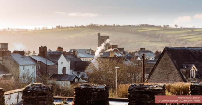
An historic market town situated where the Usk and Honddu rivers meet. A new information centre – Visit Brecon – opened in Lion Yard in May 2018.
OS grid ref SO 047286 (town centre)
Pedestrianised centre with museums, cathedral and remains of Norman castle. Theatre situated at the western end of the Monmouthshire & Brecon Canal. Three Geotrails are available which explore the gorge of the Afon Honddu, the floodplain of the River Usk and the nearby hillfort of Pen-y-crug.
Geology
- Old Red Sandstone (Devonian); St Maughan’s Formation
- Quaternary; river gorge, floodplain, river terraces & alluvium
Maps
- OS Landranger 160, Explorer OL12
- Geological — BGS 1:50,000 ‘Brecon’
Guides
- 3 Geotrails: River Usk, River Honddu, Pen-y-crug (*Geotrails update: these trails still start from outside the building which housed the former tourist information centre though, as mentioned above, that service is now available from a new address nearby)
Facilities
- Shops, pubs, restaurants, Brecknock Museum (closed for refurbishment in 2012 but due to re-open in 2019 as ‘y Gaer’), Theatr Brycheiniog etc
- Numerous car parks, mostly pay & display.
Accessibility
- Largely accessible, some hills.
Transport links
- By car — good access from A470 and A40
- By train — nearest stations at Llandovery, Merthyr Tydfil and Abergavenny —see Traveline Cymru
- By bus — see Traveline Cymru; X43, 63, 714 services run to/from Brecon
- By bike — NCN 8 runs through here